Pleasant View Township History
From treaty-era land policy and Township organization to logging, skiing, public institutions, zoning, and four-season recreation.
A community shaped by land and access
Northwestern Michigan has long been home to Native peoples and communities whose traditions, places, and relationships to the land predate Township government. The Township’s historical-context document begins with the 1855 Treaty of Detroit and later federal land policy that affected settlement north of Harbor Springs.
Fresh water, forests, hills, wetlands, wildlife, seasonal roads, public land, and changing transportation access have continued to shape Pleasant View Township. Its modern identity reflects local government, natural-resource use, recreation, rural settlement, and neighboring resort development.
Pleasant View through the years
The following dates and events are summarized from the Township’s “Historical Context,” which states that it is not intended as a comprehensive history.
Treaty of Detroit
The source describes the treaty as ending federal forced removal to Kansas for certain Native peoples and reserving public-domain lands for individual Native American allotments and patents.
Settlement remains limited
Although the Homestead Act allowed settlers to claim land, the source says land north of Harbor Springs remained reserved until treaty revision in 1875.
Pleasant View Township is established
After a residents’ petition, the Emmet County Board of Supervisors established the Township. The population was recorded as 418. The first meeting was held April 3, 1876.
Local government begins
Eli Culler was elected Supervisor, Levi Dunham Clerk, and Emos Warble Treasurer. Each received 19 votes. Early government also addressed roads, taxes, elections, annual meetings, and schools.
Cemeteries and public responsibilities
The first of three Township cemeteries was purchased in 1876. In 1899 the Township appointed a Weed Commissioner.
Logging and milkweed
As Michigan’s first logging boom ended, logging remained part of family memory. The source says local milkweed down was collected and used in military life vests during World Wars I and II.
Camp Pellston
A low-security prison camp operated on State-owned land along the Township’s northern border, partly in Pleasant View and partly in Center Township. The source records 639 prisoners, approximately 36 employees, and closure on December 31, 2001.
Harbor Highlands and Boyne
Harbor Highlands Ski Area was founded by 12 Harbor Springs businessmen. The Kircher family purchased it in 1963, when it became Boyne Highlands.
A second ski area grows
Norm “Nubby” and Doris Sarns opened Nub’s Nob across the valley. The source says the Pleasantview Ski Corporation purchased the area in 1977.
Local zoning and planning
The Township first adopted an interim zoning ordinance in 1972, replaced it in the early 1980s, and established a Planning Commission around 1984.
Zoning ordinance development
The historical source states that the then-current Township Zoning Ordinance was adopted in 1995 and most recently amended in 2007.
Natural resources and four-season recreation
State-owned land, forests, hills, wetlands, seasonal roads, and limited through highways continue to restrain some development, while ski and four-season recreation facilities create concentrated activity near the Township’s southern edge.
What shaped the Township
Natural resources
Timber, hills, game, wetlands, and large tracts of State-owned land have influenced settlement patterns, livelihoods, access, recreation, and conservation.
Transportation and remoteness
Seasonal roads and the absence of through state or federal highways reduced some development pressure. Improved highways and air travel later supported access from Midwest metropolitan areas.
Seasonal and year-round community
Much growth historically centered on seasonal uses, while the source also records a significant increase in year-round residents over its preceding twenty years.
Planning for the future
The Township’s history informs land-use policy. Master planning and zoning provide a framework for balancing rural character, natural resources, public services, recreation, and development.
Township Hall & map
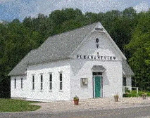
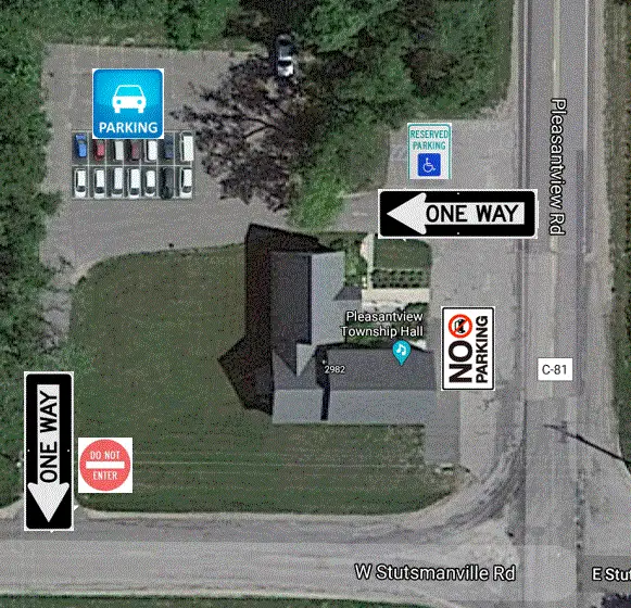
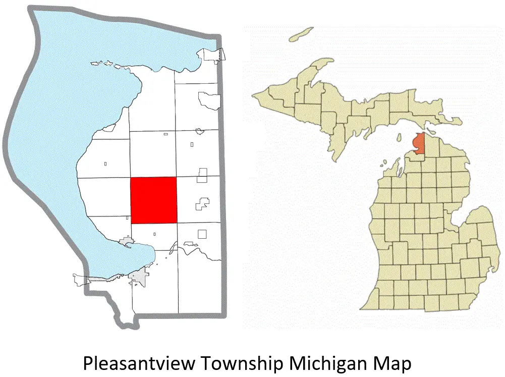
The website does not currently contain verified archival photographs. These current images help orient the history without representing the past.
Share photographs, records & stories
Pleasant View Township continues to compile the history of the Township and Township Hall. Residents, families, organizations, and former community members are invited to contact the office about photographs, documents, artifacts, oral histories, and stories related to local growth and development.
Historical records or corrections
Contact the Township Office to contribute material, request a copy of the historical document, or suggest a documented correction.
Historical information is summarized from Pleasant View Township’s two-page “Historical Context,” which is not intended as a comprehensive history. Present-day photographs are identified as current context images.